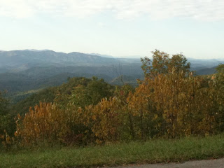
 a National Park road that ascends the northern boundary of GSNP and then dives down western border of the Chilhowee Lake section of the Tennessee River. The route then meanders placidly along the river before a seven mile stretch of vicious and writhing ascents and descents. This is the start of the section of US129 called "The Dragon" and is a siren call on weekends to motorcyclists and sports cars.
The route breaks free of the Dragon to join the dirt and gravel Parson's Branch Road. Climbing up 2000' in 5 miles to Panther Creek it intersects the trail head junction to Gregory Bald--a popular hiking trek to its 4949'peak. The road steeply descends back down those hard fought feet of elevation into the GSNP's most famous tourist destination: Cades Cove. Heinous Loop bisects a heavily traveled road that circumscribes Cades Cove and grants a rider 10 miles of relatively flat and epically beautiful scenery. Then it's time to climb one last time up and over Rich Mountain before closing the loop.

Naturally, in preparing for this planned 6 hour venture, I did some pre-ride conditioning at the New Belgium Brewery's "Clips of Faith" -- a beer and film festival held in the Knoxville World's Fair Park. Two "samples" in, it became more of a social night out with members of the local biking community as I don't recall any films though I'm sure they were being played. Let's just say that since all of the beer sales proceeds went to the Appalachian Mountain Biking Club, I could justifiably argue for life member status.
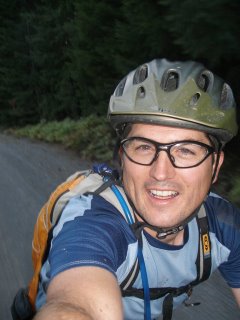
I launched for the ride start with a residual headache from "Ten Ten Ten" a fabulous New Belgium beer with an awesome taste seductively masking 10% alcohol content. My goal was a positive split but the first 6 miles up a 4% grade climb up Foothill Parkway challenged that immediately. I found a good groove though and kept the HR down in Zone 3 or better while still pacing at a decent rate despite carrying a full load of water (2l bag and a bottle), food, and support gear on my back. The backside was spent in a speedy tuck and the elevation and heart rate both descended quickly. Picking up the river, I cruised and lapped up the views of placid waters, changing fall colors, and the occasional slow or soon-to-be-forever snake along shoulder and road. I saw my first copperhead as he paused before the road; why there were so many snakes out I have no clue.
Entering the Dragon (not the Bruce Lee movie), the road ticked up and began a stretch reknown for its 318 turns in 11 miles. I would get 7 miles on it (202 corners?) before my turn off all while tucked tightly to the shoulder. The volume of motorcycles- cruisers and rocketships- picked up, interlaced with the occasional sportscar or out-of-place minivan. Soon almost every corner had a commercial photographer and prominent web banner, to sell things such as this:
 I reached Parson's Branch --27 miles traveled-- in 2:10; ahead of schedule and just in time for lunch. A quick PBJ, an apple, and then up the trail towards Cade's Cove. Free of the near constant whine of performance 4 strokes, I settled into the rhythmic two stroke but sometimes wheezing exhaust of my Kona. After the busy Dragon, Parson's was church-like save the quiet rustling of falling leaves, cawing crows, and narcissistic tweets of cardinals. 10 miles and 10 cars was all I saw until I reached Cade's Cove.
 Described as 16 miles of moving, linear parking, Cades' Cove lived up to its promise, as fall color tourist inched along it's roadway. I easily and enjoyable passed car after near-idling car as I scurried towards Rich Mountain and began one last long 4 mile climb up and out of the GNSP.
 Mile 49-50 was the longest of the ride as the distance and elevation started to take it's toll and a positive split began to look like the bridge too far. In fact the top of that last hill looked too damn far. But, in the immortal words of Jean Paul Sartre, "I peddle, therefore, I must peddle." (maybe it was someone else besides that tiny, annoying voice in my still aching head)

Up and over and a long and fast final dirt stretch and then a whoop inducing smooth, switchback laced road into Townsend. The last few miles were a cool down along the Little River as the muscles finally began to register their objections to a nearly continuous 5 hours of climbing and spinning. Back at the car at 4:58 having missed my positive split, but positive that this was a Fabulous Loop and not a Heinous one after all.


